
Unprecedented Situational Awareness from Edge to Cloud
CloudTAK revolutionizes how teams collaborate and operate, delivering real-time, shared understanding for critical missions
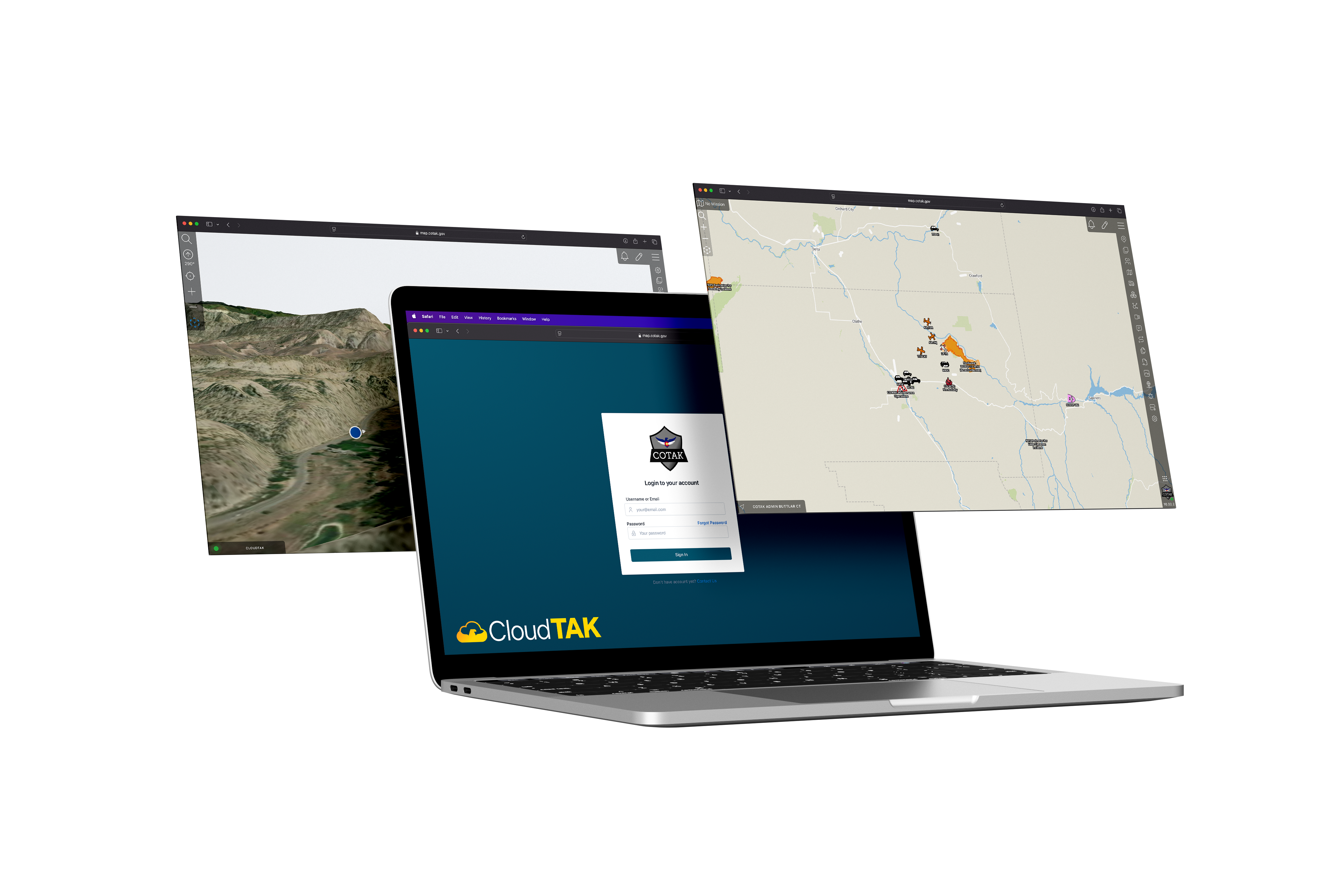
The Team Awareness Kit (TAK) is built for people in the field with a phone or tablet. CloudTAK is for the people supporting them: the EOC, the dispatch floor, the GIS desk, and anyone else who needs the live map on a laptop.
It connects to any TAK Server as a normal client, so field users see nothing different. It is built by the Colorado Division of Fire Prevention and Control and the Center of Excellence for Advanced Technology Aerial Firefighting, and released as open source.
What you get
Shared map
Live positions of every TAK user, aircraft, and vehicle on your server. Drop markers, draw shapes, and share them with the field.
User guide →Chat and missions
Direct and group chat with field users. Create and join TAK missions (Data Sync) to keep an incident's markers, files, and logs in one place.
User guide →Live video
Watch streams from UAS, aircraft, and fixed cameras next to the map, and share them with field users.
User guide →Files and data packages
Import KML and GeoJSON, send and receive TAK data packages, and export what is on the map back out as KML or GeoJSON.
User guide →Basemaps and terrain
Raster and vector basemaps, 3D terrain, and layers from ArcGIS Online or ArcGIS Enterprise. Bring your own icon sets to match your agency's symbology.
Admin guide →Self hosted
Run it with Docker Compose or deploy it into AWS with the included CloudFormation templates. It talks to your TAK Server and your data stays with you.
Deploy guide →Bring outside data into TAK
Most of the data an incident needs does not start out as TAK data. CloudTAK runs small ETL tasks on a schedule that fetch from an outside source, convert it to Cursor on Target, and push it to your TAK Server. There are over forty maintained integrations, including:
- ADS-B Exchange aircraft positions
- Garmin inReach satellite trackers
- CalTopo team maps
- Esri ArcGIS feature layers
- Geotab vehicle locations
- First Due and Active911 dispatches
- USGS stream gauges
- COtrip road cameras, plows, and incidents
How it works
- A normal TAK client. CloudTAK speaks Cursor on Target to your existing TAK Server over the same certificate-authenticated connection as ATAK, iTAK, and WinTAK. There is nothing to change on the server or in the field.
- Sign in with your TAK account. Users log in with their TAK Server credentials and can add a passkey afterwards. Channel access follows the TAK Server groups the user already belongs to.
- One deployment, many agencies. Each integration runs under its own connection and certificate, so one CloudTAK instance can feed data into different channels for different agencies without sharing credentials.
- Extensible. Integrations are small Node.js tasks built on a shared toolkit, and the web client has a plugin system. If your data source is not on the list, the ETL guide shows how to add it.
Who runs it
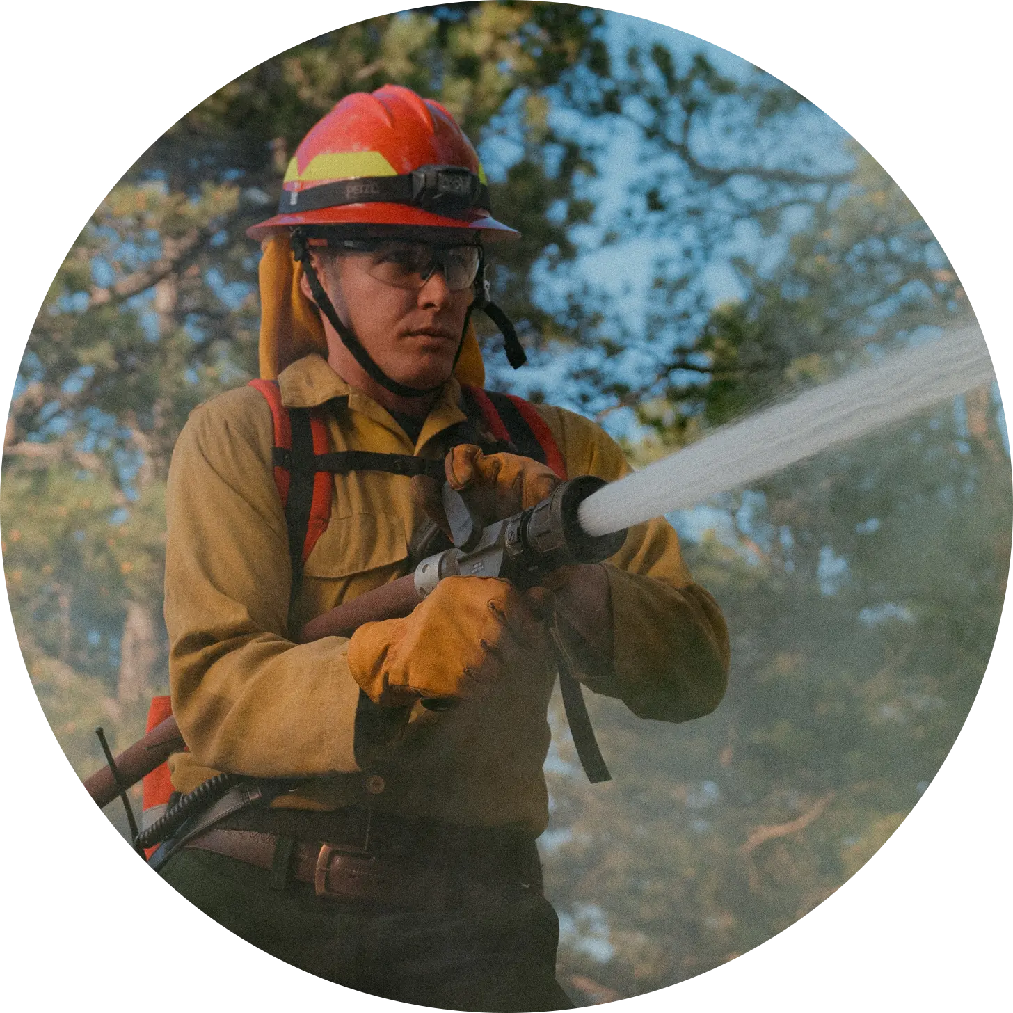
Fire & EMS
Track engines, crews, and aircraft on a wildfire from the incident command post, and give the EOC the same map without handing out tablets.
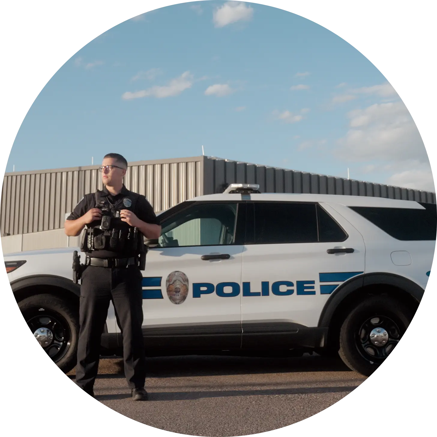
Law Enforcement
Put dispatch, patrol vehicle locations, and body camera or fixed video on one screen for a watch commander or a planned event.
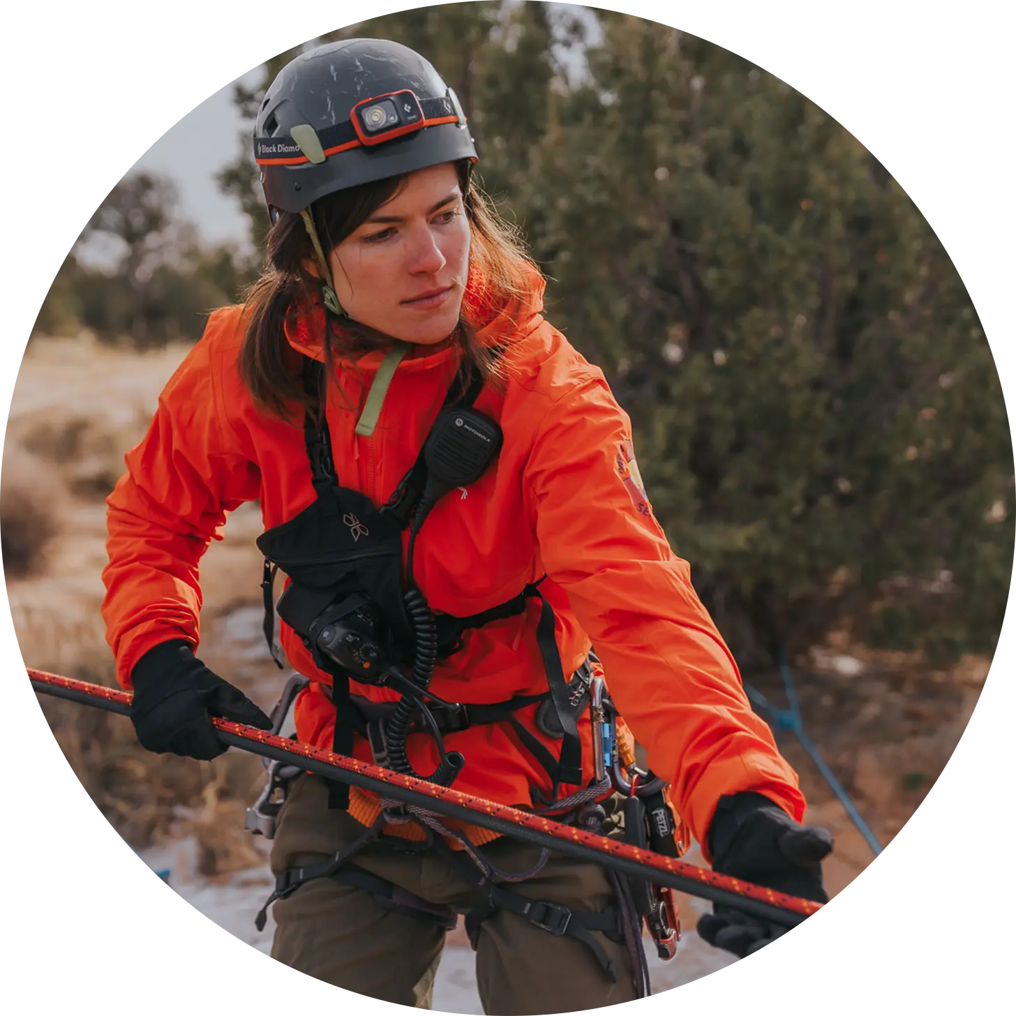
Search & Rescue
Follow team and aircraft tracks, share CalTopo and inReach positions, and keep incident command on one map as the search area changes.
CloudTAK is built by the Center of Excellence and runs in production at COTAK and TAK.nz.

License
CloudTAK is free software under the GNU AGPL v3. You can run it, change it, and redistribute it at no cost. If you host a modified version for others, the AGPL asks you to share your changes.
Development is funded by the State of Colorado and done in the open on GitHub. There is no paid tier and no hosted service to buy. If you need help standing it up, see Contact.
Questions?
Bug reports and feature requests go to the GitHub issue tracker. For anything else, including a demo or help with a deployment, email the COTAK team.
support@cotak.gov Deploy CloudTAK